Project Description
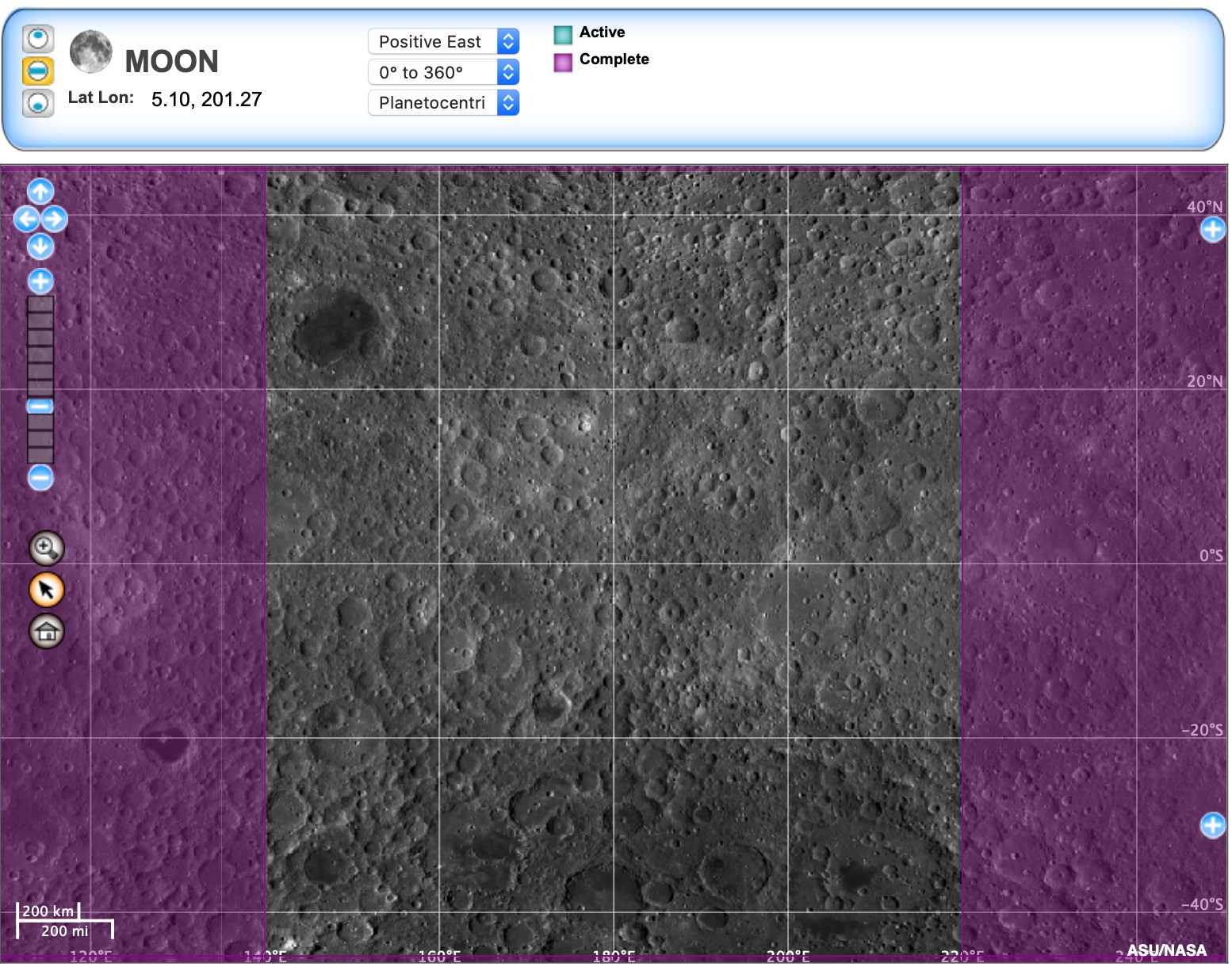
A big part of space exploration is sending spacecrafts into space to orbit planets, collect large amounts of data, and take images. Scientists then create maps of these planets by using the images and data collected. These maps play a crucial role in learning more about a planet and its surface. In order for researchers to use planetary mapping and collect data NASA told USGS to create a way to view maps of other planets virtually. Trent Hare, a research developer and data processor for USGS, is in charge of promoting planetary mapping by attending expos and finding others to get involved in creating a way to view maps of planets virtually.
Current Issues
There are two main drawbacks when it comes to their current implementation. The first being that OpenLayers does not support planetary mapping. All the different maps USGS created for the different planets and moons think that they are still Earth. They are currently “faking” the data (modifying the data based on conversions from one planet or body to Earth) to map all of these different bodies. This causes the data to be represented inaccurately. The second major drawback with their current implementation is that the current codebase for OpenLayers is not modular. The Openlayers codebase has updated its code to an entirely new codebase that no longer supports the code written years ago by USGS. Since their code is not modular, the USGS development team is having to rewrite the OpenLayers code to make the planetary maps work with the updated version of OpenLayers. Without the code being modular they will always have a development team because there is no long term solution when working with just OpenLayers. Their code needs to be modular so that even if one open-source mapping application fails or does not support the code anymore, they will still have a program that works.